International shipping to most countries — Prices in USD
طِراز سِتّيTIRAZ SITTI

A sourced archive reading

Bayt Tima

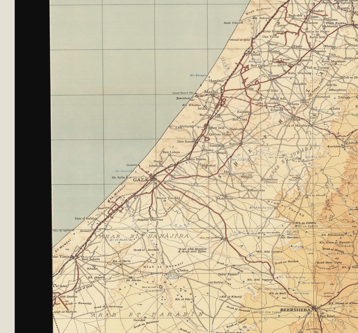
Bayt Tima is known from the British Mandate maps of the Gaza subdistrict; its depopulation, dated 18 October 1948, came among the area's last waves of displacement. No available source attributes a particular stitch to the village.

Historical map of the Gaza area used as a research reference

Population record

The source records a historical population of 1,060 people.
Source

Palestine Open Maps / Institute for Palestine Studies — Bayt Tima (accessed 26 July 2026)

This text is an editorial reading of the cited source, not a personal testimony or family account.